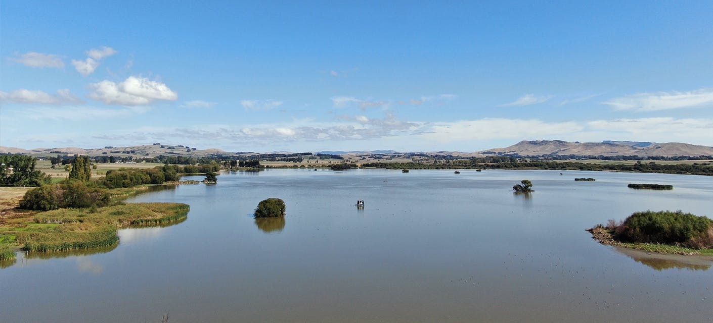
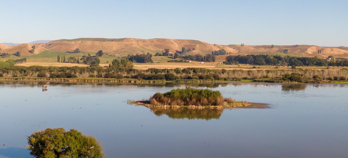
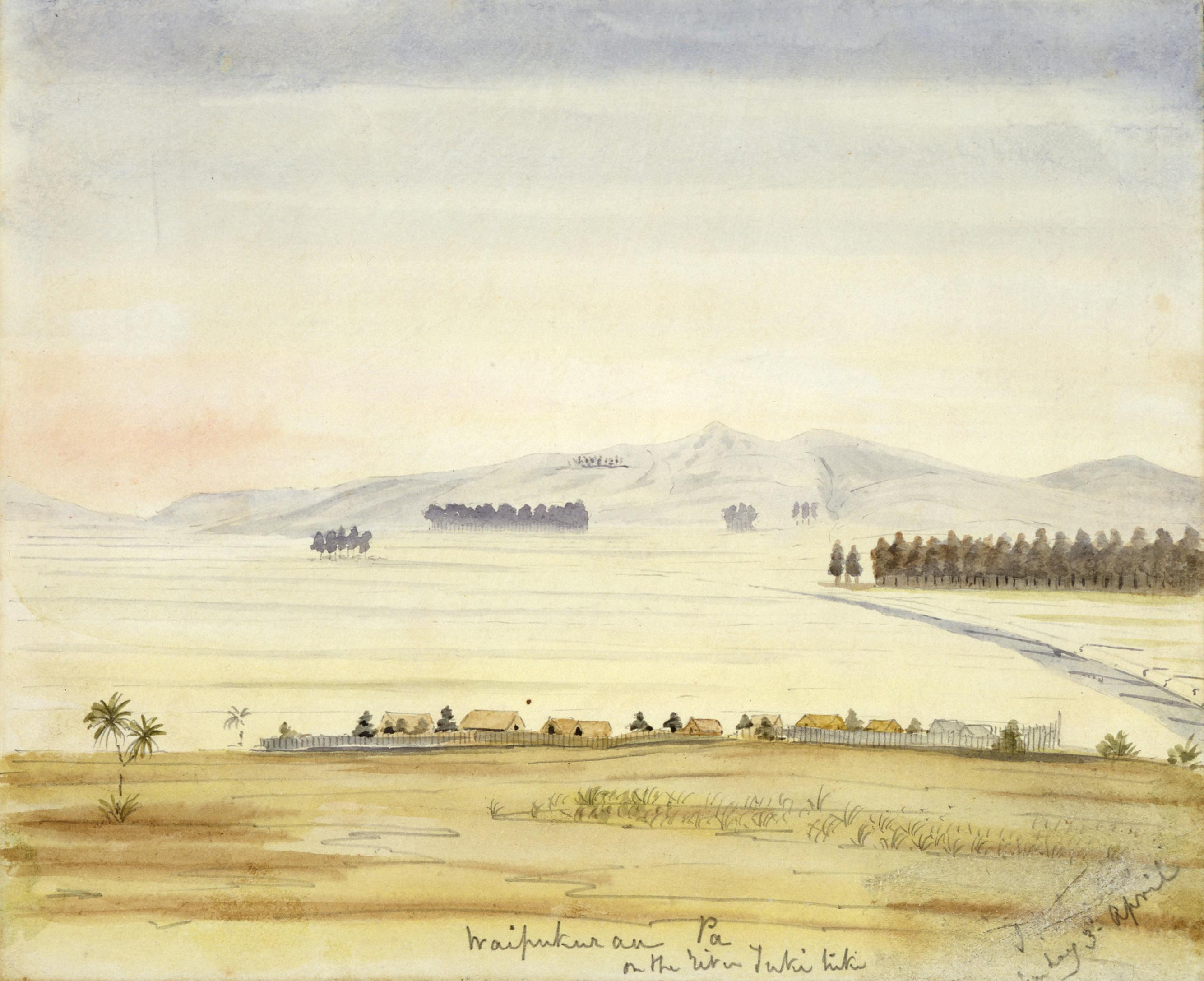
1820s

The Musket Wars came to this area. After major battles, the tīpuna (ancestors) sought refuge at Māhia and Manawatū.

Early-1840s

Tīpuna started returning to this rohe (tribal area).

1844

Anglican missionaries established a presence in this area

1851

Waipukurau Block purchase by the Crown – 279,000 acres of Māori land acquired to facilitate European sheep farming and settlement.

1865

Native Land Court established to clear additional land for European farms and settlement. The court sat at Waipawa.

1870s

Extensive destruction of bush through government deforestation schemes.

Upheaval and relocation

During the Musket Wars of the 1820s, conflicts with tribes from elsewhere caused the tīpuna to take refuge at Māhia and Manawatū. They returned to this area from the early 1840s. By 1844, the first Europeans had arrived – Anglican missionaries were amongst the earliest.

Image: Watercolour of Te Waipukurau Pā by Joseph Rhodes, c. 1850s. Alexander Turnbull Library, ref. A-159-027.

Te Waipukurau Pā

With Brian Morris & Roger Maaka

During this period, Te Waipukurau Pā became the main pā of this area. Previously, it had been a mahinga kai (food gathering place), but the returning people established it as a more permanent settlement. When missionaries came here it was Te Waipukurau Pā they visited. Māori from across the district gathered at this pā for news and trade.

Missionaries

With Roger Maaka & Brian Morris

Anglican missionaries – in particular Reverend William Colenso – had significant impacts on this area. By 1845, the tīpuna had built a chapel at Te Waipukurau Pā, with guidance from the missionaries.

Trade with early Europeans

With Brian Morris & Roger Maaka

After Europeans arrived, the tīpuna used their skills of trade and negotiation – honed over centuries of interactions with other tribes – to operate a profitable trade in harakeke (New Zealand flax), wood and produce.

Most of the villages along the river became places where people could come and talk with the local Māori and negotiate whatever it was that they thought they might need

Waipukurau Block Purchase

Hapū (kin groups) welcomed the first Europeans – traders and missionaries – and exchanged goods and ideas with them. But 1851 marked a major turning point in relations between Māori and Europeans: the Waipukurau Block purchase.

Image: Map of the Waipukurau Block Purchase, 1851. Archives New Zealand, ref. R12153199.

About the Waipukurau Block Purchase

With Brian Morris & Roger Maaka

The Crown acquired 279,000 acres of Māori land – stretching from the coast, across Waipukurau and Waipawa, and from Ōtāne in the north, south to Parimāhu. A reserve, including Te Waipukurau Pā and the flat land where the Waipukurau township lies today, was set aside for local hapū. Land Purchase Agent Donald McLean also promised hapū that Lake Whatumā was excluded from the purchase.

European settlers eagerly bought land and established farms on it. Rangatira (chiefs) of this district envisioned Māori and Europeans sharing in the prosperity of this land, pastural farming together. Sadly, this would not come to pass.

Native Land Court

From 1865 the Native Land Court practiced at Waipawa. The court’s role was to determine who held the title to Māori land blocks – making it easier for Europeans to purchase even more land.

About the Native Land Court

With Brian Morris

Unfortunately, the Native Land Court’s systems were geared towards making more land available for settlement and biased against Māori, resulting in further land loss. The tīpuna (ancestors) were required to attend court every day for months while their cases were heard. They built houses south of the Waipawa River to be near the court.

If you had rights to land you had to prove that you had those rights... You had to pay for the survey, then you had to pay for the court costs, in order to prove that you owned something that you knew you owned

Mana and giving land

With Roger Maaka

The mana (power and authority) of a rangatira was dependent on their ability to give away. This was always reciprocal. There were many instances of people giving land in lieu of cash or in recompense for assistance offered.

Throughout the 1870s, 80s and 90s, hapū (kin groups) of this region sent petitions to the government about the negative impacts of the Native Land Court. Lake Whatumā was a particular focus. They pointed out that the lake – now surrounded by farms – had been expressly excluded from the Waipukurau Block purchase and rightfully belonged to the hapū.

Implications

As European settlement and farming intensified, the landscape, traditional food sources and trade opportunities changed completely.

From the 1870s, large scale deforestation occurred under government schemes to gain more land for farms and railways. The rise of sheep farming, then dairy and deer farming, had negative impacts on the waterways. Wetlands were drained to make viable pastureland. Agricultural run-off made its way into the streams and lakes.

Image: Clearing Te Tapere nui o Whatonga (the 70 Mile Bush) at Ormondville, c. 1880. Hawke's Bay Museums Trust, Ruawharo Tā-ū-rangi, ref. m99/78/1; 8865.

Well into the twentieth century, Māori were not fully included in the wage economy. The only work available to many was casual labour on the farms of European settlers.

Image: Shearing gang at Elmshill Station, 1901. Hawke's Bay Museums Trust, Ruawharo Tā-ū-angi, ref. m83/28, 6745a.


Changes to food and industry

With Roger Maaka
00:00

Bereft of their traditional mahinga kai (food stores/gathering places), Māori tried to survive in a new cash economy that did not cater to them. The whānau (family) system shifted from the pā to the shearing shed – family members of all ages contributed to the work.